Tomorrow doesn't look all that impressive on the severe weather front...tropical front...except maybe on the front through Florida. However, not impressive in a severe weather sense, but more the fact that Florida is going to see A LOT of rain over the next 4 days. A front is stalling out over the center of the state and I wouldn't be surprise, considering the tropical wave which is moving into the gulf, to see areas with 6+ inch totals over the next few days. But we shall wait and see.
Anywho, this entry is really about the chances for a nocturnal MCS with the threat of wind across the central plains. The models have sure trended down with the threat over the last 24 hours, now with the NAM moving the system a little north through Nebraska and maybe northern Kansas, and not bombing it out like it did yesterday. The GFS and NAM are now very consistent with the placement of the system and strength, which gives me a bit more confidence.
Currently both models are indicating a surface low developing in western Kansas leading to southerly flow into the Central Plains. This southerly flow will increase dewpoints across northern Kansas and Nebraska back up into the middle 60s (a little higher than the 52 dewpoint we experienced today in Wichita!). At 500 mb the flow will be out of the northwest (thus called Northwest Flow....) with a shortwave moving into the central plains Wednesday afternoon. This shortwave and increasing low level jet into the evening will lead to thunderstorm development across western Nebraska along the warm front. The low level jet will be nearly due south in the early evening as the MCS begins to evolve in Nebraska but will turn out of the southwest as the system moves towards the east into the Omaha and Kansas City areas. This will allow the MCS to continue its eastward propegation...and if the system can stay surface based, could have some decent wind threat late into the night and early morning.
Currently the SPC has a 5% chance of thunderstorms for this area....which makes me wonder if I am just crazy. But the conditions look decent for a good thunderstorm complex to develop and treck across the plains...so I am not going to back down...yet. I will be very interested in seeing the day 2 forecast that is issued later tonight.
Anywho, this entry is really about the chances for a nocturnal MCS with the threat of wind across the central plains. The models have sure trended down with the threat over the last 24 hours, now with the NAM moving the system a little north through Nebraska and maybe northern Kansas, and not bombing it out like it did yesterday. The GFS and NAM are now very consistent with the placement of the system and strength, which gives me a bit more confidence.
Currently both models are indicating a surface low developing in western Kansas leading to southerly flow into the Central Plains. This southerly flow will increase dewpoints across northern Kansas and Nebraska back up into the middle 60s (a little higher than the 52 dewpoint we experienced today in Wichita!). At 500 mb the flow will be out of the northwest (thus called Northwest Flow....) with a shortwave moving into the central plains Wednesday afternoon. This shortwave and increasing low level jet into the evening will lead to thunderstorm development across western Nebraska along the warm front. The low level jet will be nearly due south in the early evening as the MCS begins to evolve in Nebraska but will turn out of the southwest as the system moves towards the east into the Omaha and Kansas City areas. This will allow the MCS to continue its eastward propegation...and if the system can stay surface based, could have some decent wind threat late into the night and early morning.
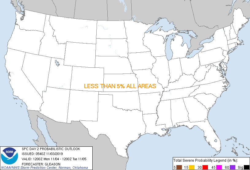
Currently the SPC has a 5% chance of thunderstorms for this area....which makes me wonder if I am just crazy. But the conditions look decent for a good thunderstorm complex to develop and treck across the plains...so I am not going to back down...yet. I will be very interested in seeing the day 2 forecast that is issued later tonight.
ADDITION:
And here is the outlook for Day 2 (Wednesday):

1 comment:
About time you started back up!
Post a Comment